
You do not need a barometer to read a British sky. The evidence is already overhead, drifting east and rearranging itself while you watch. A walker who can name what they are looking at gains something quietly useful: they notice the cloud thickening before the rain reaches them, or they see the morning's first cumulus begin to tower and decide to shorten the route.
Clouds are also the most generous subject a nature writer can have. They are free, never quite the same twice, and they do not mind being stared at. What follows is a beginner's guide to the shapes you will meet most often in Britain, what each tends to signal, and how to get one down on paper without reaching for "fluffy".
A country well suited to cloud-watching
Britain sits in the path of Atlantic weather, which arrives as fronts, ridges and showery westerly flows. That restlessness is an advantage. On an ordinary Tuesday you might set out under high wisps of cirrus, watch them thicken into a grey veil, and come home under a low, dark sheet of rain cloud, all inside four hours. Our hills are also low enough that you can often see the base of a cloud and the top of the same cloud in one glance.
Three levels, four shapes
Cloud names are built rather than invented. Meteorologists sort clouds by the height of the base and by shape, and the words stack up accordingly:
- Low cloud forms below roughly 2,000 metres — stratus, stratocumulus, cumulus and the towering cumulonimbus.
- Middle cloud sits between about 2,000 and 6,000 metres — altocumulus and altostratus.
- High cloud forms above 6,000 metres, where the air is cold enough for ice crystals — cirrus, cirrostratus and cirrocumulus.
The prefixes carry the meaning. Alto means middle. Cirro means high and icy. Strato means layered, cumulo means heaped, and nimbus means rain-bearing. Once you know that, "altocumulus" stops being Latin and becomes a description: heaped cloud at middle height.
The low cloud you'll meet most days
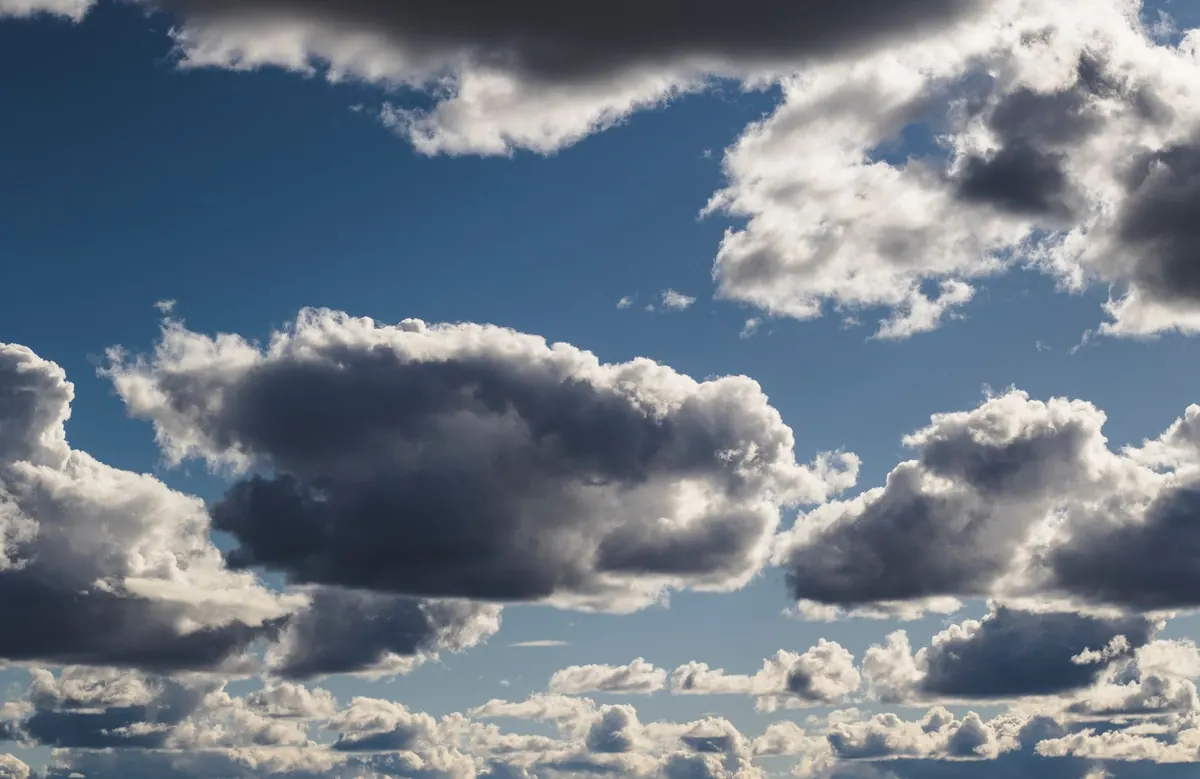
Cumulus is the cloud most people drew as a child: flat-bottomed, cauliflower-topped, drifting across a blue afternoon. Small, well-spaced cumulus on a summer morning usually mean a fair few hours ahead. When the tops start to harden and turn grey, and the bases darken, showers are coming.
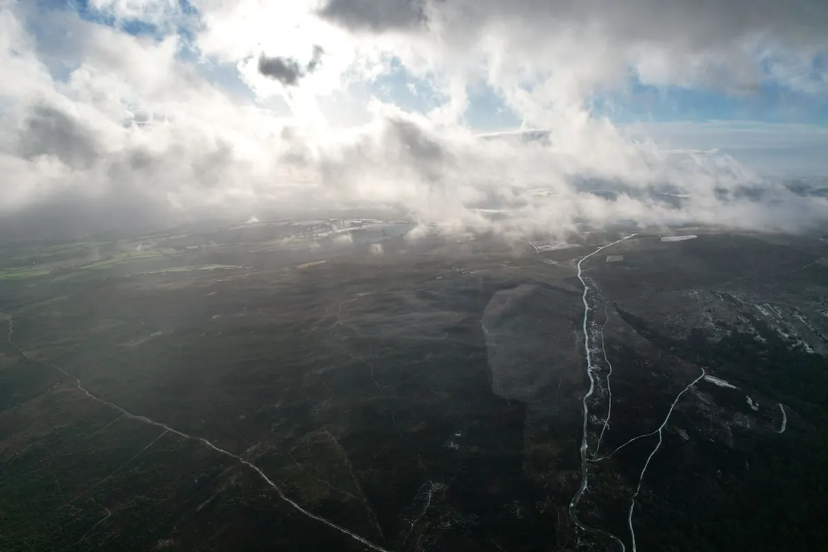
Stratocumulus is lumpy and grey, arranged in rolls or patches, often covering most of the sky on a dull but dry day. It can leak light drizzle, and it produces that flat silver-grey light photographers dislike and hillwalkers know well. Stratus is a featureless grey layer, low enough to sit on the hills as fog; if you can see the cloud base resting on a ridge, expect to walk into it.
Nimbostratus is the deep, dark blanket that delivers steady rain. There are no distinct edges to it, and no drama — just hours of wet. Cumulonimbus is the opposite: a mountain of a cloud with a flattened anvil top, bringing heavy showers, thunder and sometimes hail.
Middle and high clouds: the early warnings
Altocumulus is often described as a mackerel sky — small rounded patches in rows, sometimes with blue gaps between them. It is worth noticing, because it frequently appears ahead of a change in the weather. Altostratus is a uniform grey sheet through which the sun shows as a bright but blurred disc, as if through frosted glass.
Cirrus is the high, wispy, hair-like cloud, sometimes hooked or feathered, that often arrives a day or so before a front. Cirrostratus spreads across the sky as a thin veil and can ring the sun or moon with a halo. See cirrus thicken into cirrostratus, then into altostratus, and you are watching a warm front approach.
What a cloudscape is telling you
Reading clouds is mostly about sequence and direction, not single snapshots.
- Cloud layers moving at different speeds or in different directions. High cloud sliding over lower cloud suggests a change of air mass on the way.
- Cumulus building early. Towers forming by mid-morning on a warm day make showers more likely later.
- Cumulus spreading and flattening. Often a sign the day has stopped producing showers.
- Smooth, lens-shaped lenticular clouds over hills mean strong wind at height, even when the valley is calm.
- A halo round the sun or moon. High ice cloud has arrived, often the first note of a wetter spell.
None of this replaces a proper forecast. On the hills, a mountain forecast plus a look at the sky is a better combination than either alone. What the sky gives you is the local, current version.
How to describe a cloudscape in words
Writing about clouds fails when it stays generic. "Big white clouds" tells a reader nothing. Try this order instead:
- Start with position and time. "Four o'clock, looking west over the reservoir." A direction gives the reader somewhere to stand.
- Give one measured comparison. A cloud the size of a thumbnail held at arm's length; a base sitting level with the second ridge.
- Watch for sixty seconds before writing a word. Movement is the story: growth, thinning, a slow drift, an edge coming apart.
- Use material, not adjectives. Torn paper, wet wool, curdled milk, slate, a folded sheet. Specific nouns do work that "beautiful" cannot.
- Note the light on the cloud, not just the cloud. Underlit bases, a bright silver rim where the sun catches an edge, the moment a shadow swallows a whole hillside.
- Mention what is missing. One gap of blue in a grey lid can say more than the grey itself.
By half past two the cloud had stopped being separate things and become a lid, grey as a millstone, with one bright tear above the far end of the valley.
A five-minute practice to build the habit
Choose a fixed viewpoint — a back step, a bus stop, a gate on your usual walk — and look up at roughly the same time each day. Note three things: the cloud types you can see, about how much of the sky they cover, and which way they are moving. Two or three lines is enough. Within a fortnight you will begin to recognise the order in which a wet day arrives, and you will have a small, honest record of your own sky
Photo: Sindre Fs / Pexels